 Image 1 of 3

 Image 2 of 3

 Image 3 of 3


CHCNAV Alpha Air 9
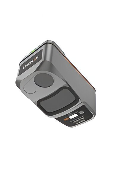
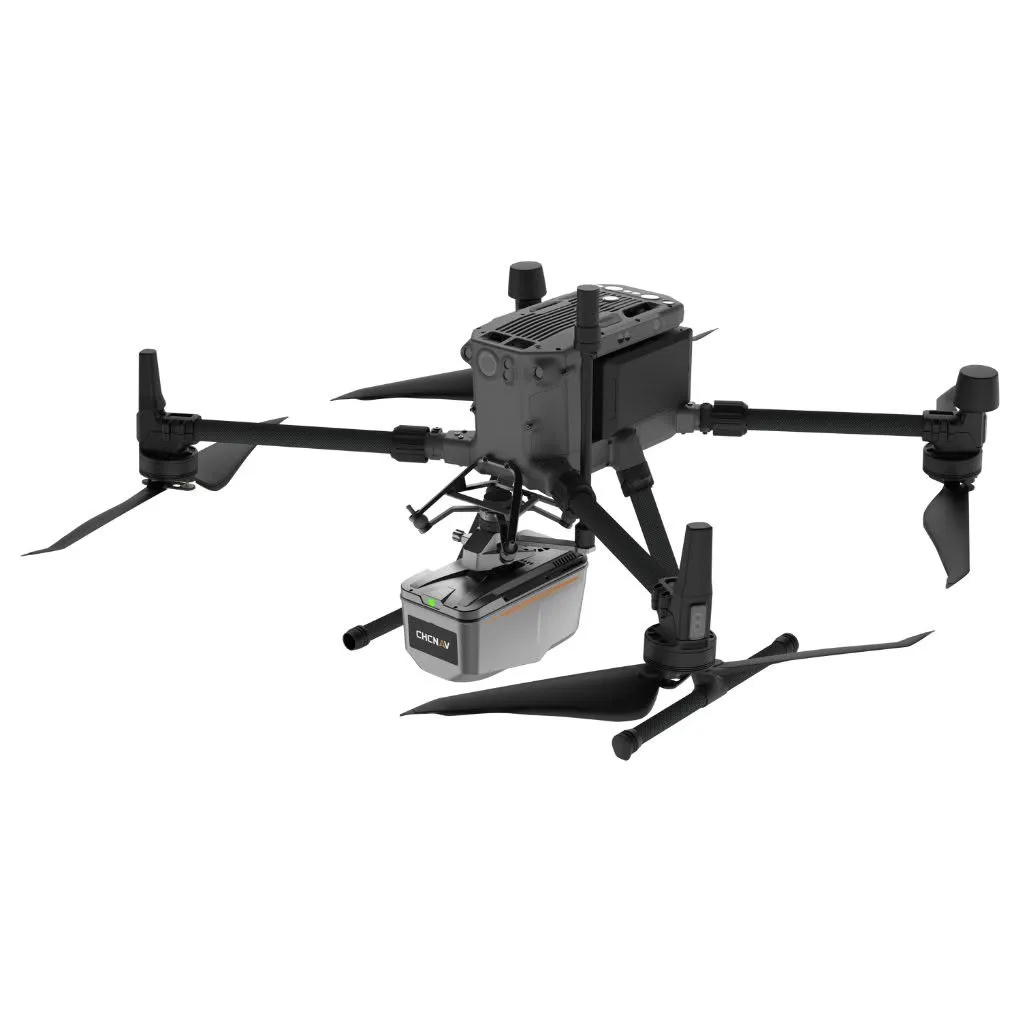
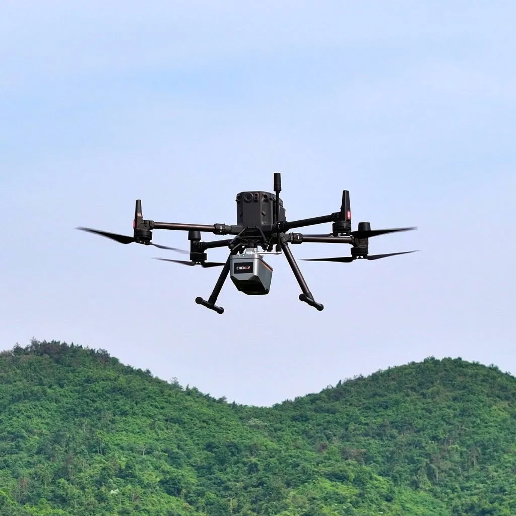
The AlphaAir 9 (AA9) is a high-precision drone-based mapping and surveying solution. This powerful LiDAR and camera system takes 3D data collection to the next level, combining high-precision LiDAR, accurate positioning, and an industrial-grade 26 MP camera to deliver stunning results effortlessly. Weighing just 1.45 kg, the AA9 is lightweight and compatible with many drones, including the DJI Matrice 350, making it easy to integrate into your aerial missions.
With advanced features like multi-target detection for penetrating dense vegetation, the AA9 ensures you capture every detail—even in challenging environments. The system offers rapid data collection and delivers reliable performance, no matter the conditions. Plus, the AA9 integrates seamlessly with CHCNAV's intuitive software, making the entire data processing workflow smooth, fast, and cost-effective. If you're looking for an easy-to-use, high-performance solution for aerial surveying, the AlphaAir 9 is your go-to choice.
Key Specs
Weight: 1.45kg
Dimensions: 213 x 113 x 131 mm
IP Rating: IP64
Visual Camera:
26MP APS-C Camera
Sensor Size: 23.5 × 15.7 mm
Minimum Photoing interval: 1s
FOV: 72.3° × 52.2°
LiDAR Scanner
No. of returns: Up to 6
FOV: 75°
Minimum Range: 10m
Maximum Range: 600 m (when p > 80% and at 100 kHz)
Scan Speed: 50~250 scans/sec
Max Measurement Rate: 500,000 meas/sec
Applications
Forestry Management
The AlphaAir 9 is ideal for forestry management applications, enabling precise mapping of forest areas. Its multi-target detection capabilities, including up to 6 return pulses, allow it to penetrate dense tree canopies and generate ground maps and the vegetation above. This makes it easier to assess forest health, calculate biomass, and monitor changes in forest cover over time.
Urban Planning and Development
Urban planners and developers can benefit from the AA9’s ability to provide highly detailed 3D models of urban environments. The LiDAR and high-resolution camera capture accurate spatial data, which is crucial for infrastructure planning, creating realistic visualisations, and ensuring compliance with zoning regulations. The lightweight design also makes it easy to deploy in busy urban areas.
Coastal and Flood Zone Monitoring
For coastal management, the AlphaAir 9 offers an effective way to monitor coastal erosion and manage flood-prone areas. By capturing accurate topographical data, the AA9 helps create models that assess changes in coastal lines and flood zones, enabling better planning and risk mitigation strategies for vulnerable communities.
Power Line and Utility Inspection
The AlphaAir 9 can also be used for power line and utility inspections, providing detailed 3D models of infrastructure without the need for close physical access. This helps utility companies perform inspections safely and efficiently, minimising the risks associated with manual inspections while maintaining high accuracy and reliability.
Mining and Quarrying
In the mining industry, the AlphaAir 9 provides precise 3D models of open-pit mines and quarries. This data is critical for volume calculations, monitoring site changes, and planning operations. The AA9’s high-resolution imagery and rapid data collection capabilities make it an essential tool for improving safety and operational efficiency in mining sites.
CoPre Management Software

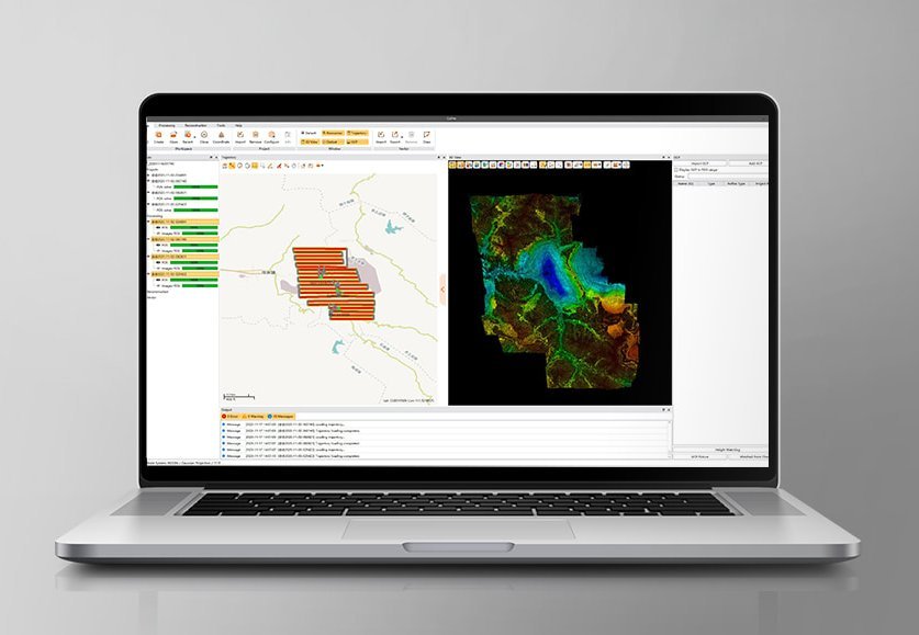
The AA9 is comprehensively supported by CHCNav's CoPre Software, providing capabilities for data visualisation, mapping, automated workflows, and more. Experience the seamless digital reconstruction of scanned data in real time. For further details, please visit here.
