 Image 1 of 4

 Image 2 of 4

 Image 3 of 4

 Image 4 of 4


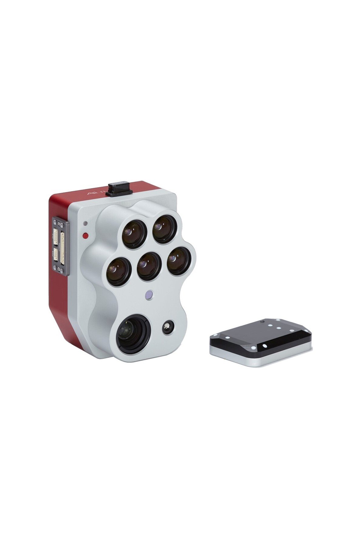
MicaSense Altum-PT SkyPort
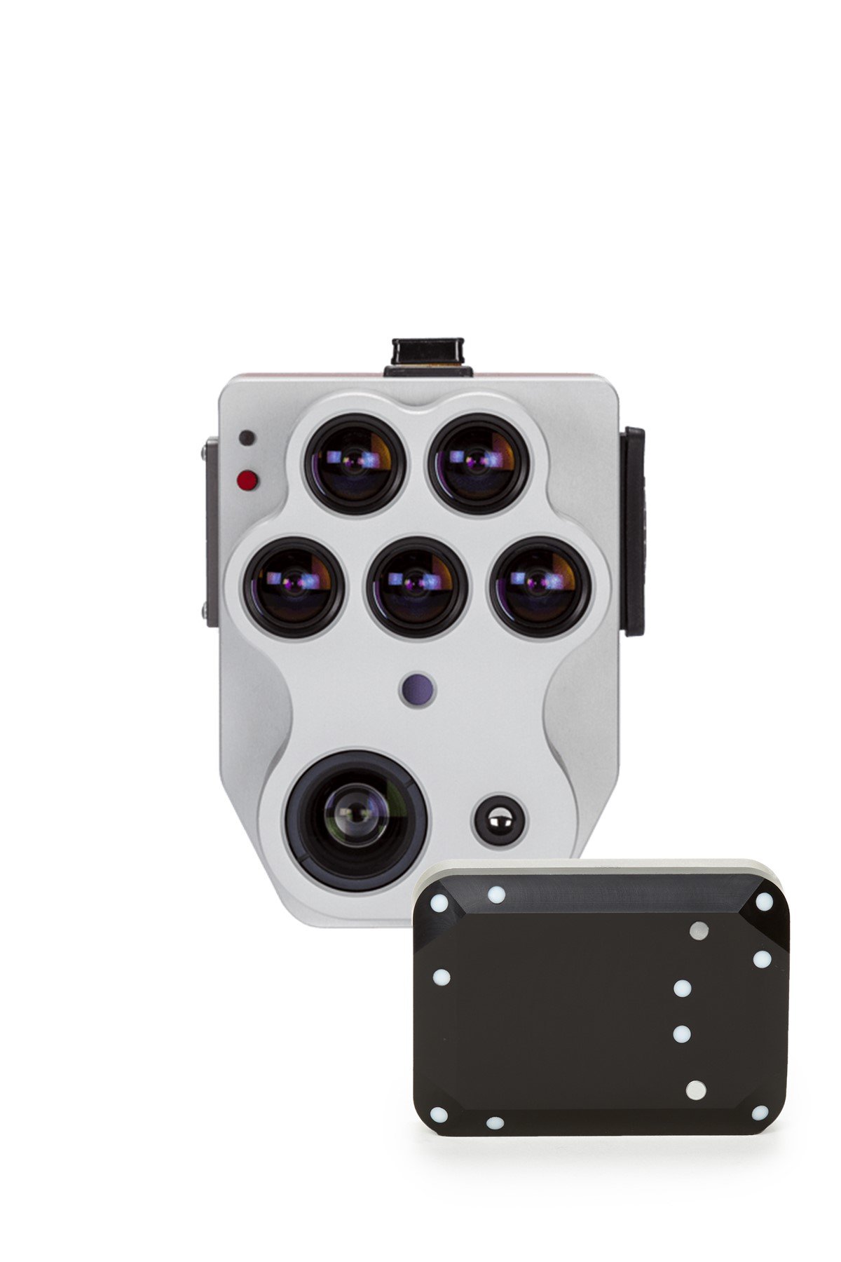
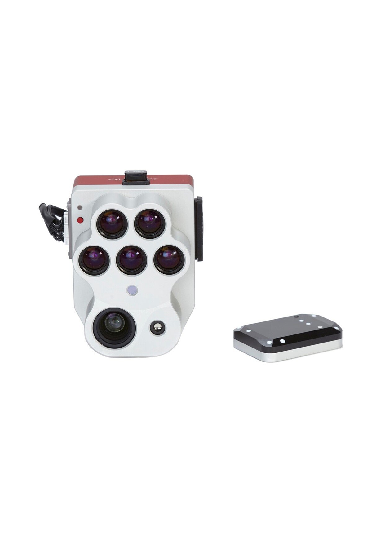
Altum-PT is an optimized 3-in-1 solution for advanced remote sensing and agricultural research. It seamlessly integrates an ultra-high-resolution panchromatic imager, a new thermal imager that provides twice the ground resolution of the previous Altum, and five discrete spectral bands, allowing plant-level applications such as early-stage stand counting. Altum-PT also features a global shutter for distortion-free results, open APIs, and a new storage device allowing for up to 2 captures/second.
The Altum-PT sensor kit comes with:
Altum-PT sensor
SkyPort adapter
DLS 2 with embedded GPS
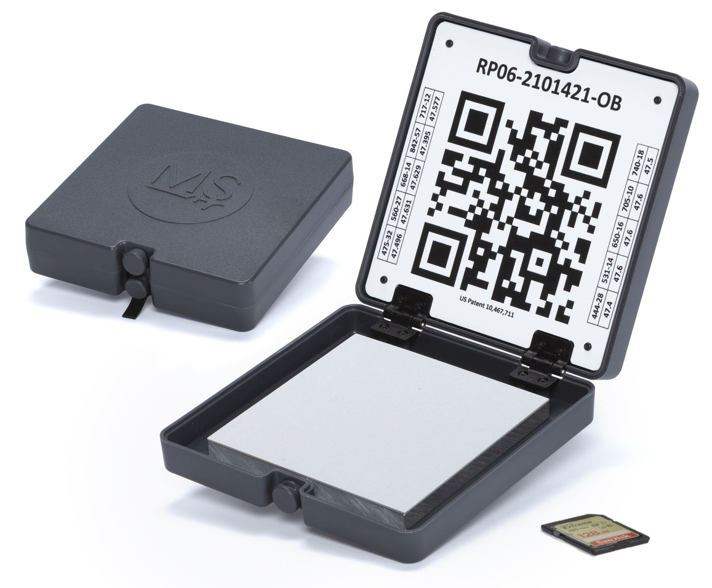
Calibrated Reflectance Panel (CRP 2)
USB WiFi dongle
Lens cover
Necessary integration cables
Assorted mounting hardware
CFexpress card
CFexpress card reader
Hard carrying case
Quick start guide
Key Features
INCREASED STORAGE
New professional removable storage standard in CFexpress, enabling over two captures per second, immediate turnaround time between flights by swapping cards, and super-fast card-to-computer upload speeds for more efficient data management.
TWICE THE SPATIAL RESOLUTION OF THE PREVIOUS ALTUM
Altum-PT features an ultra-high resolution panchromatic sensor which allows for “pan-sharpening” the multispectral imagery, ultimately increasing the spatial resolution of the multispectral data: 1.2 cm (0.47in) pan-sharpened ground resolution when flying at 60m (200ft).
UPGRADED THERMAL SENSOR
Altum-PT features a built-in 320 x 256 FLIR Boson® that enables thermal maps at twice the ground resolution of Altum - 17cm from 60m flight altitude.

Synchronised Thermal & Multispectral Imagery
The MicaSense Altum-PT captures synchronized multispectral, thermal, and panchromatic data for pixel-aligned outputs at incredibly high resolutions. The capture of these bands happens simultaneously, eliminating the need for data alignment in post-processing.

Calibrated Multispectral Imagery
CRP 2
A new compact version of our Calibrated Reflectance Panel. Same functionality, now in a smaller size and easier to carry!
DLS 2
Our next-generation light sensor, with cutting-edge technology for irradiance and sun angle measurements. It provides more accurate, reliable data, greatly reduces the need for post-processing, and substantially improves radiometric accuracy. With the integrated GPS, setup with any aircraft is simple.

Ultra-High Resolution, Unlimited Analytical Capabilities
RGB, multispectral, and thermal imagery at higher resolutions for advanced vegetation research applications.

Irrigation Scheduling
Determining irrigation time, frequency, and duration is a critical factor in production agriculture since it directly impacts the health of crops. Altum-PT thermal imagery provides powerful insights into water management, helping irrigation managers determine the correct watering and identify leaks or clogs in the irrigation system by the difference in crop canopy and soil temperature.
Disease, Pest & Nutrient Deficiency Detection
With the high-resolution multispectral imagery from Altum-PT, users have a better chance to identify problems affecting the physiology of the plant canopy. Diseases, insects, and nutrient issues often cause physiological damage before symptoms are visible in RGB. Using the different multispectral indices and composites of the pan-sharpened data, these issues can be detected sooner.
Plant Phenotyping
Manually measuring plant characteristics is time-consuming. Altum-PT captures more data in less time, allowing researchers to more easily understand how different traits react to different growing conditions.
Fruit Yield Estimations
Popular fruit yield estimation methods like manual fruit count or time series analysis are time-consuming and expensive. Altum-PT offers a combination of high-resolution RGB, multispectral, and thermal imagery, enabling more precise yield predictions by allowing algorithm-based fruit counts and temperature analysis.
Water Stress Prediction
Canopy temperature is a valuable indicator of plant stress. Altum-PT thermal imager allows farmers to periodically evaluate plant physiological status and detect subtle changes in canopy temperature that could be an indicator of water stress.
Pressure Issues & Clog Detection In Irrigation Systems
Altum-PT's thermal imagery can help identify clogs and irrigation leaks through the water cooling effects or lack thereof on the vegetation and ground. Areas with excessive irrigation will appear noticeably cooler than the rest of the field. Areas with no irrigation will show higher temperatures than the rest of the field.
