Use PIX4Dfields to create prescription maps and maximize crop yields
Create accurate field maps, generate insights and analyze field data in real time to increase crop productivity
Precision agriculture mapping using images from drones and UAVs
The only drone mapping software for agriculture created with the help of farmers, breeders and agronomists
Use aerial images to make the invisible, visible
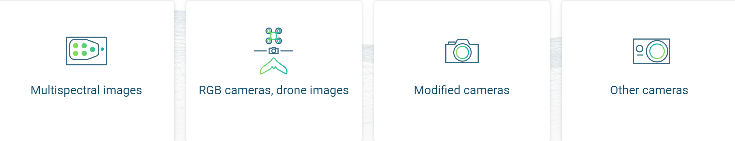
Import images from any drone or UAV, captured with standard RGB or selected multispectral cameras
Capture
Collect images using a drone and any standard RGB or a selected multispectral camera like Parrot Sequoia+ and MicaSense RedEdge.
Process
Process imagery with the instant processing engine and get your maps directly in the field: 6.8 GB, 2948 images, 10 min (with the new radiometry module).
Scout
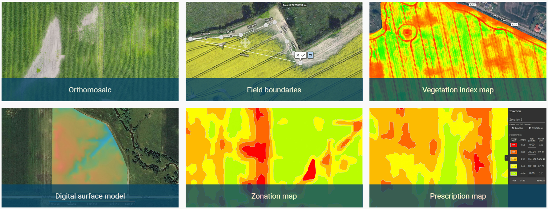
Generate precise orthomosaics, digital surface models, index maps, zones and accurate prescription maps. Trim your fields to the desired field boundary to create more targeted outputs.
Analyse
Visualize and understand your crop growth stages and stress levels. Analyse and compare different layers of information for a full insight into your yield performance and use them to increase crop production and reduce costs.
Share
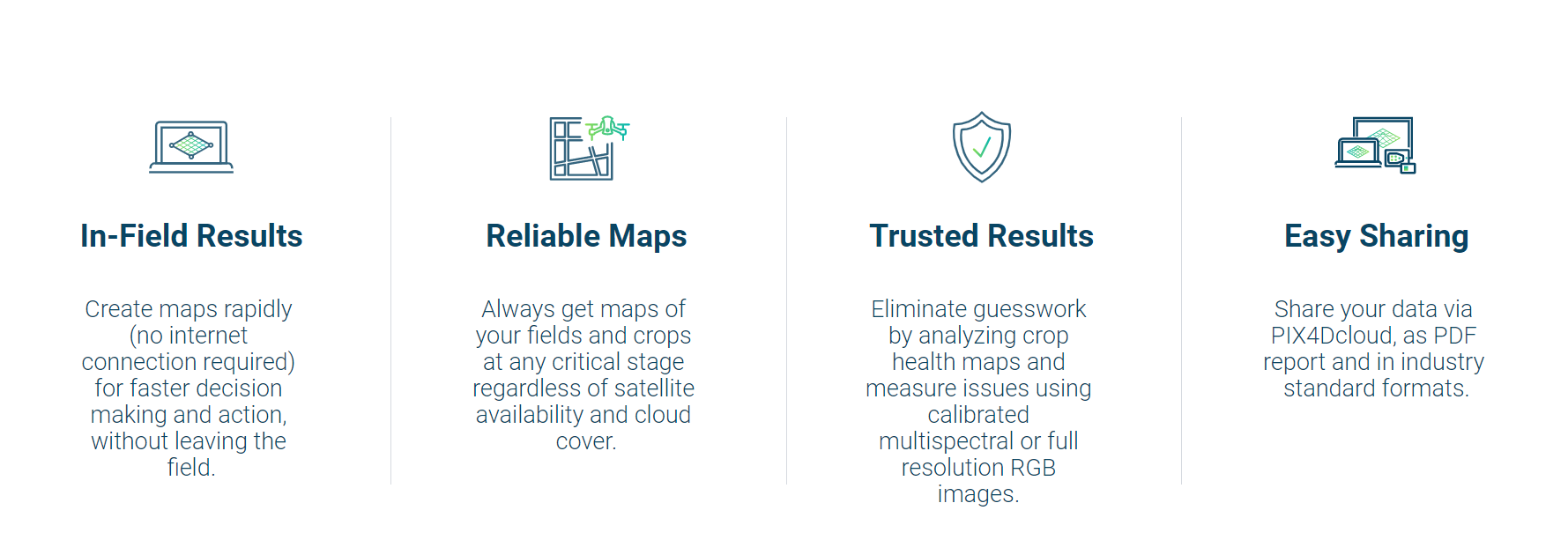
Share your maps with all project stakeholders for seamless collaboration using PIX4Dfields' PDF report tool or using the share to PIX4Dcloud feature.
Integrate
Download all outputs, results and insights and import them into the Farming Management Software of your choice in various industry-standard formats.
Create and analyze real-time maps of your crops to enhance your agriculture workflow
Easily scout your farm and generate the appropriate output for your needs